Location: City of Gaithersburg, Maryland
Washington, DC metropolitan area
Year: 1988 (plan) 1989 (begun construction)
Developer: Joseph Alfandre (pre-1991),
Great Seneca Development Corporation (post-1991)
Planner/Designer: Andres Duany, Elizabeth Plater-Zyberk, DPZ Inc.
Development Size: 356.34 acres (144.32 ha.)
Number of Units: approximately 1,800
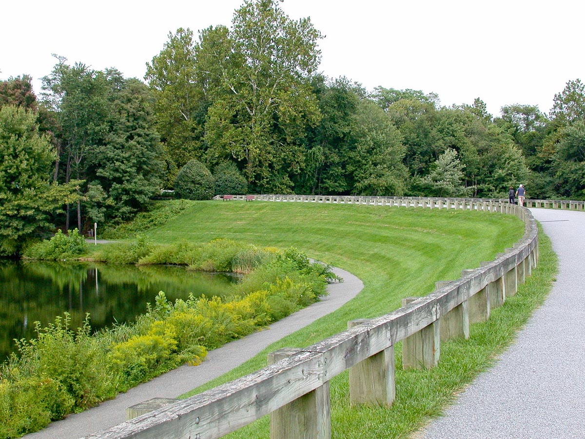
Open Space: 95.12 acres 26.7% of total area
Kentlands case study document
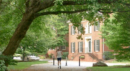
Kentlands is located in the metropolitan Washington region, about 25 miles northwest of Washington, DC. Kentlands was one of the first neotraditional communities in the United States designed and built for year-round residents. Later termed New Urbanism, the neotraditional development movement started in the late 1980’s as an antidote to conventional suburban development.
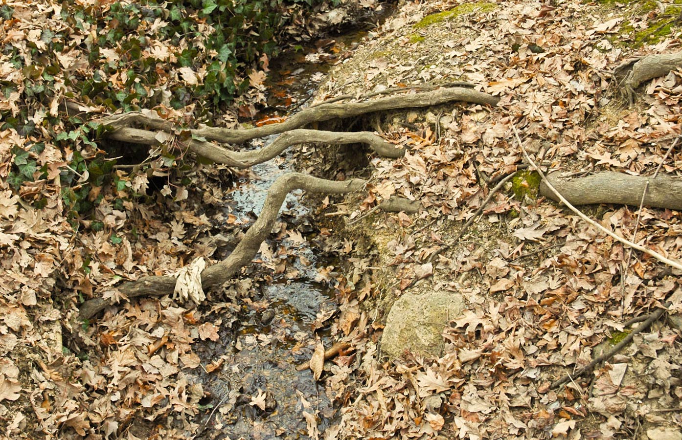
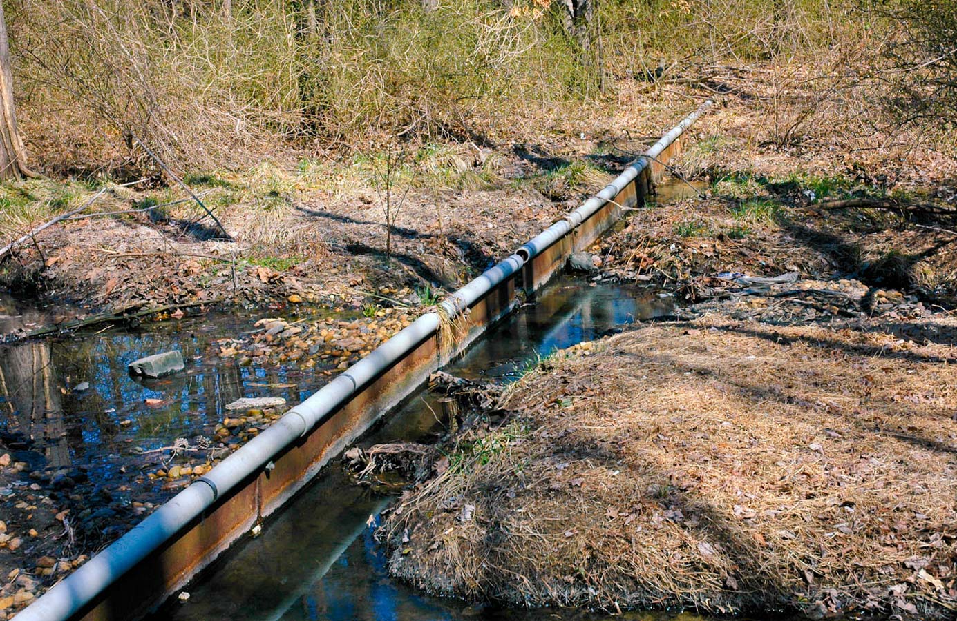
The development plan for Kentlands was approved in 1988, at a time when there was a strong state requirement for protecting forest stands as a way of protecting the water quality of the Chesapeake Bay. The development was planned and approved in this context, with a strong emphasis on protecting the most significant mature trees on the site, and also some significant stands of trees. In addition, the subdivision ordinance required a development setback for all streams (100 feet), and the floodplain ordinance required a setback from the lakes (also 100 feet). Both of these requirements led to the protection of significant areas of existing forest stands and native vegetation.
Prior to the approval of the Kentlands development, most new suburban development in the region (see the Dufief case study) were permitted as planned unit developments. However, the Mayor of Gaithersburg at the time, Mayor Boer, became a believer in the opportunities presented by the new concepts of neotraditional development. Subsequent to the permitting of Kentlands, the City of Gaithersburg adopted a new MXD zone, that required 40% green space, including lakes, sidewalks and amenities. The entire development today, including the commercial areas and Lakelands only achieves approximately 27% open space, although this figure does not include sidewalks.
Later legislation put in place a requirement for a Natural Resources Inventory that “must include specific information pertaining to soils, streams, floodplains, steep slopes, threatened or endangered species, existing wildlife, [etc.]. . .as well as all the information previously required for a Forest Stand Delineation.” The Inventory was used in the Lakelands development, and covers all potential redevelopment of the Kentlands site.
Construction began on the first units in 1989, in the area of the Manor house complex. The initial neighborhood was constructed in what was called the Gatehouse District, and the first residents moved in in 1991. Today Kentlands consists of approximately 1,800 homes in 12 districts: Gatehouse, Old Farm, Upper Lake, Middle Lake, Lower Lake, Tschiffely Square, Upper Hill, Middle and Lower Hill, Midtown, Lakeside and Kentlands Bluff.
A major aspect of Kentlands development that sets it apart from other suburban developments of the period is the office and commercial development that was planned and implemented as part of the community. Initially envisioned as a live-work community, the commercial district to the northeast has over 1 million square feet of commercial and office space.
As with many successful and visionary developments, during the initial years of the development of Kentlands Joseph Alfandre and later the Great Seneca Development Corporation exerted tight control over the planning and design of the community. Only one citizen sat on the five-member Board of Trustees in 1992, and by 1994, another citizen was given a seat. However, the developer maintained board majority until June 2000, more than 10 years into the development of the community.